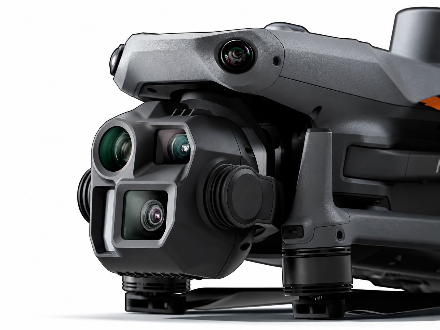
Professional Mapping Camera
Capture detailed aerial imagery with a 20MP 4/3 CMOS wide-angle camera and mechanical shutter, designed for professional surveying, mapping, and construction documentation.
DJIZOO Enterprise Solutions
Flagship Intelligent Multi-Sensor Compact Drone
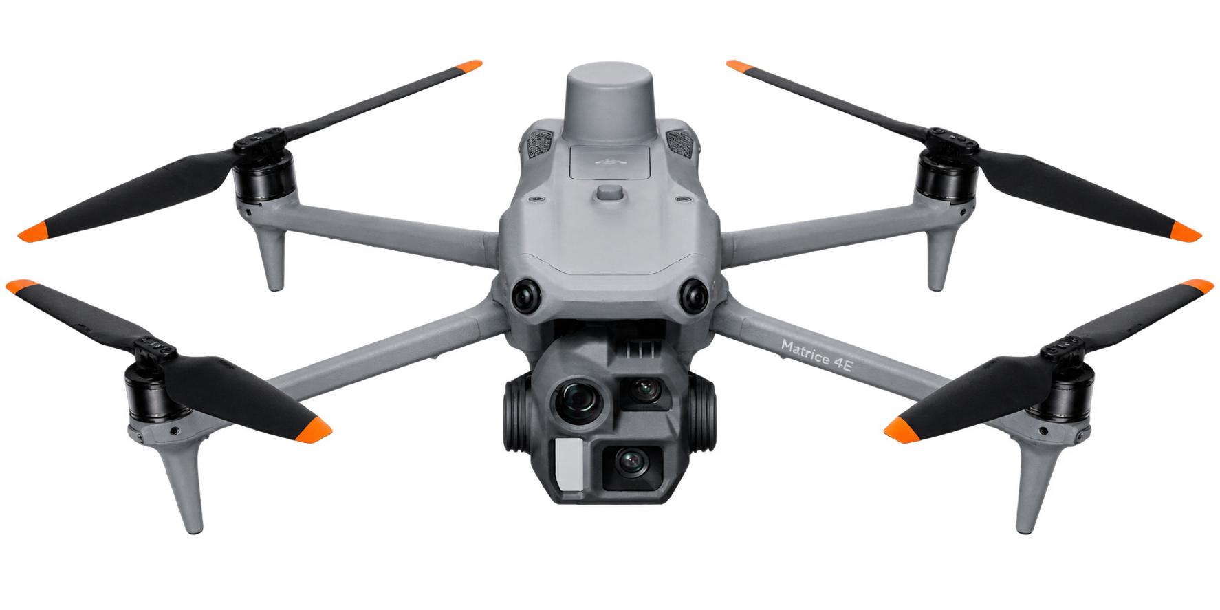
Capture detailed aerial imagery with a 20MP 4/3 CMOS wide-angle camera and mechanical shutter, designed for professional surveying, mapping, and construction documentation.
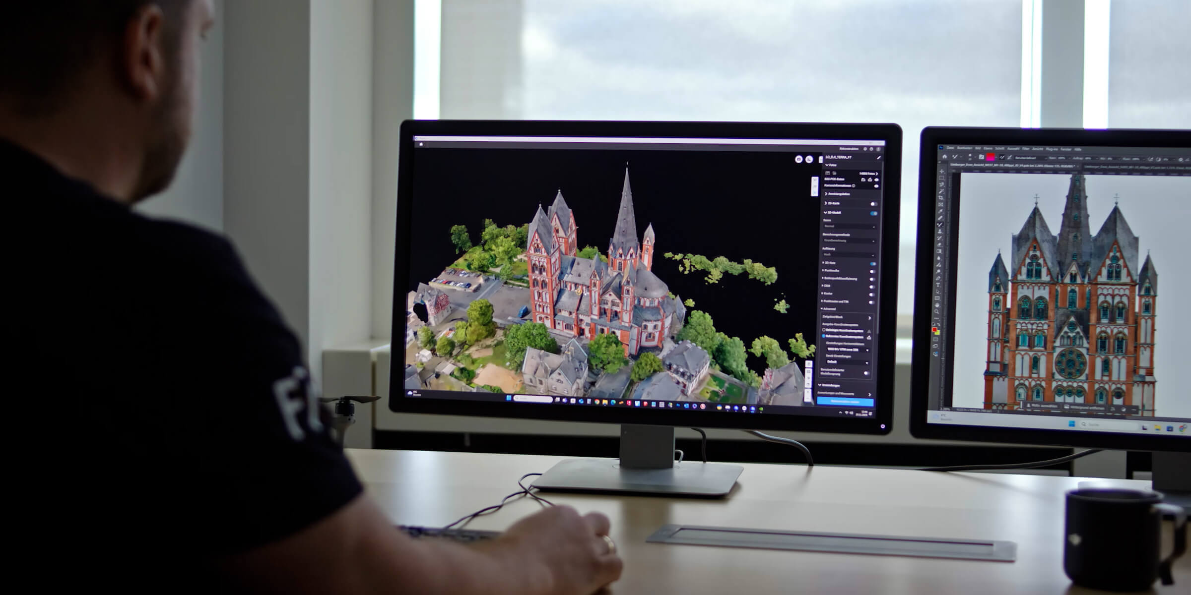
With 0.5-second interval shooting and mapping flight speeds of up to 21 m/s, Matrice 4E streamlines orthophoto and oblique surveying. Three-directional ortho capture can cover up to 2.8 km² in a single flight under specified conditions.
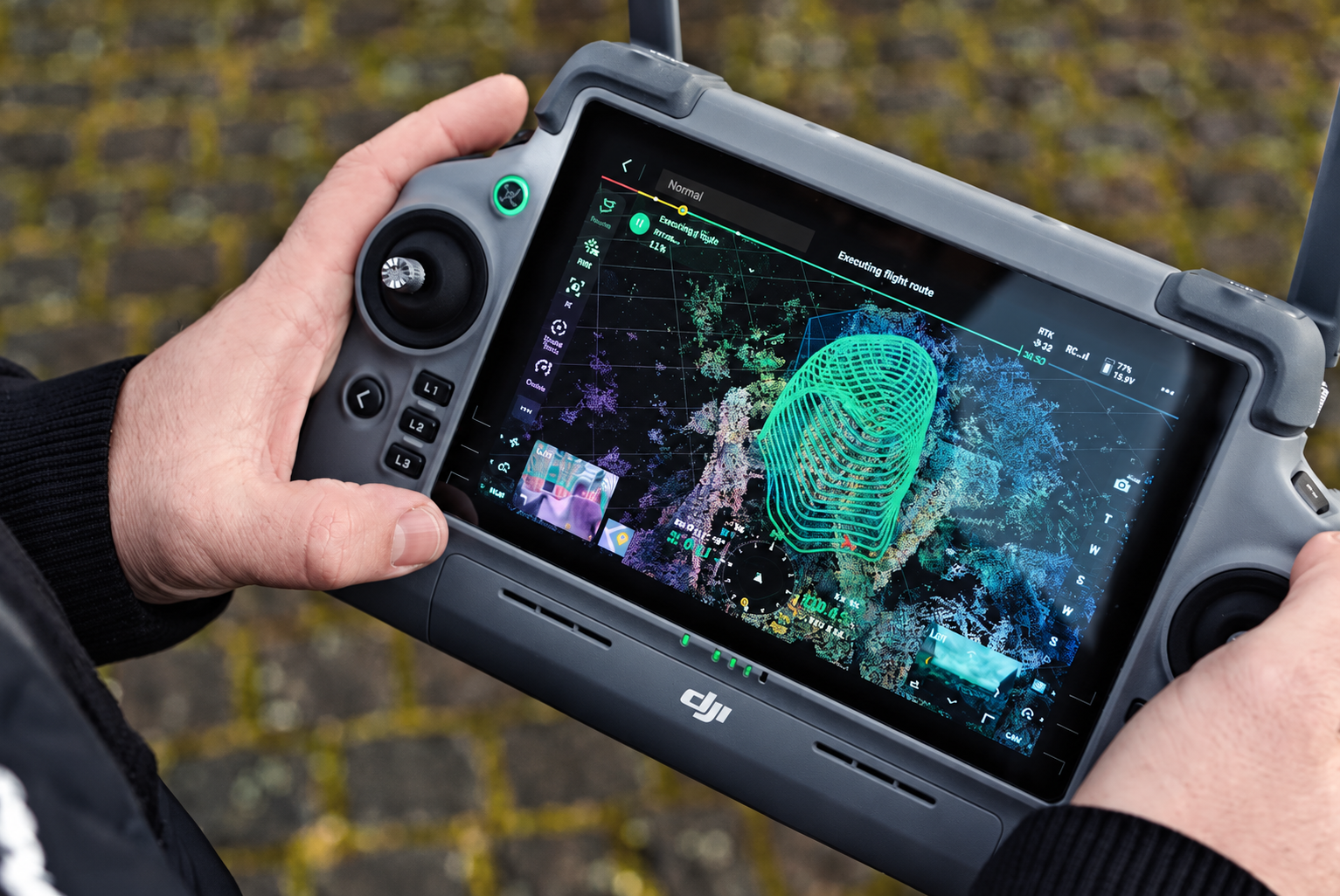
Generate preliminary 3D models directly on the remote controller and create precise mapping routes for complex structures, helping simplify detailed building surveys and 3D reconstruction.
LET’S TALK PROCUREMENT
Share your models, quantities and delivery needs. We will help you plan the next step.
Request a Quote
loading