
Long-Range LiDAR Detection
Featuring a 1535 nm LiDAR system with a detection range of up to 950 m on objects with 10% reflectivity under specified test conditions.
DJIZOO Enterprise Solutions
DJI's First Long-Range, High-Accuracy Aerial LiDAR System
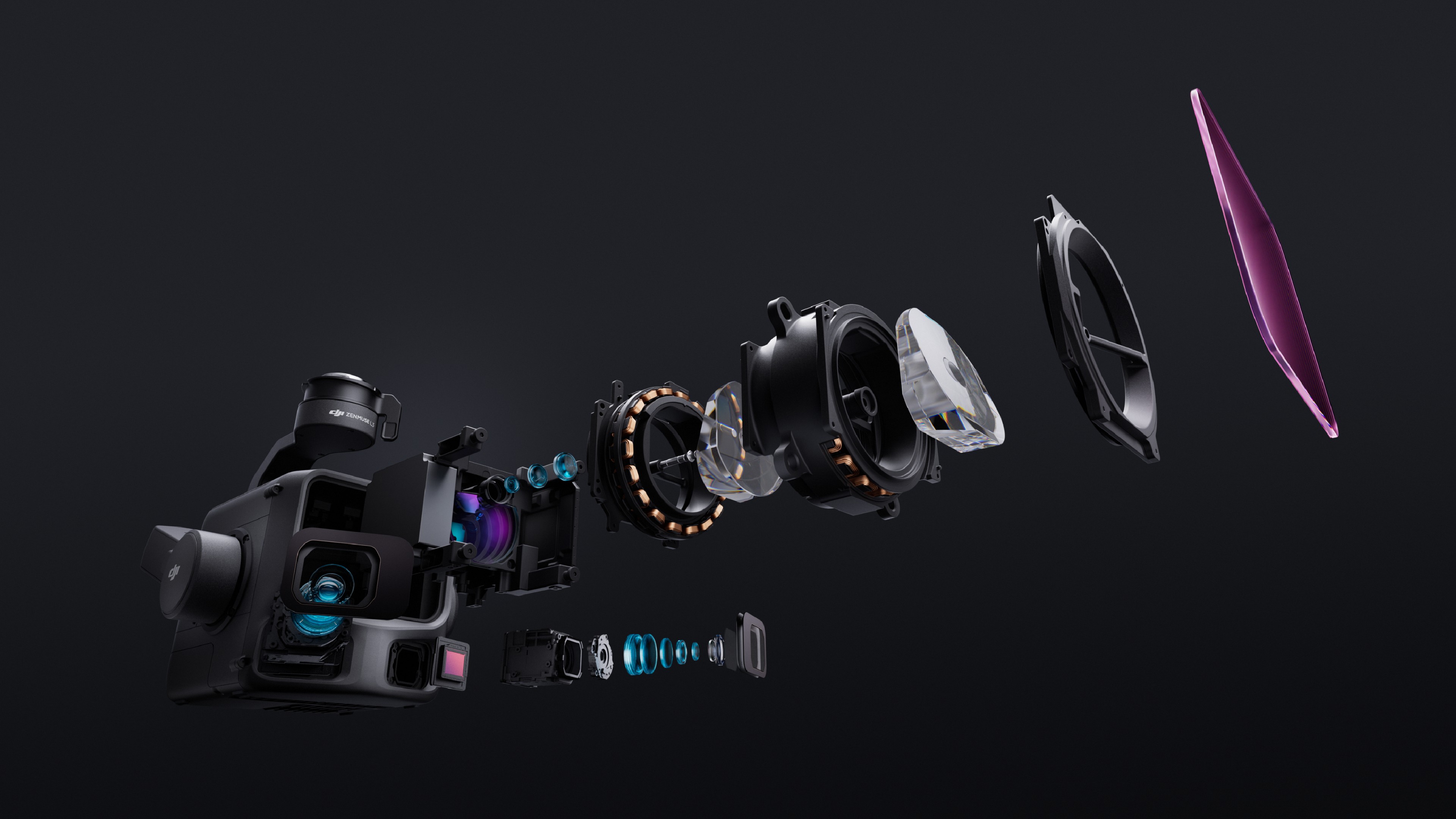
Featuring a 1535 nm LiDAR system with a detection range of up to 950 m on objects with 10% reflectivity under specified test conditions.

Combine advanced LiDAR technology with dual 100MP RGB mapping cameras to capture detailed terrain data and generate accurate 3D point clouds.
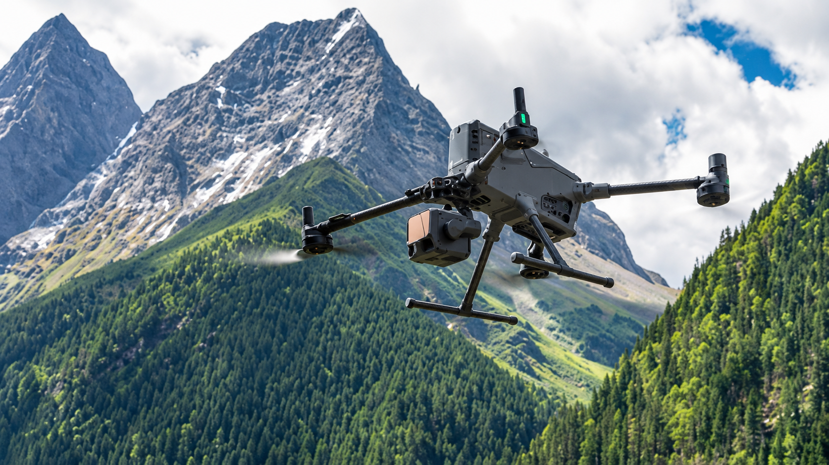
When paired with DJI Matrice 400, Zenmuse L3 can cover up to 10 km² in a single flight and up to 100 km² per day under specified operating conditions.
LET’S TALK PROCUREMENT
Share your models, quantities and delivery needs. We will help you plan the next step.
Request a Quote
loading