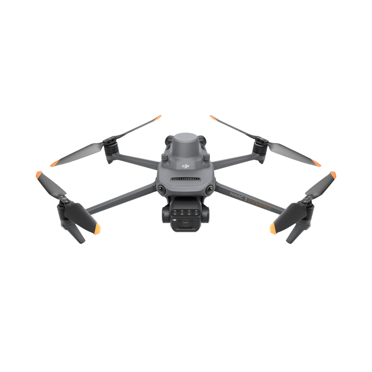
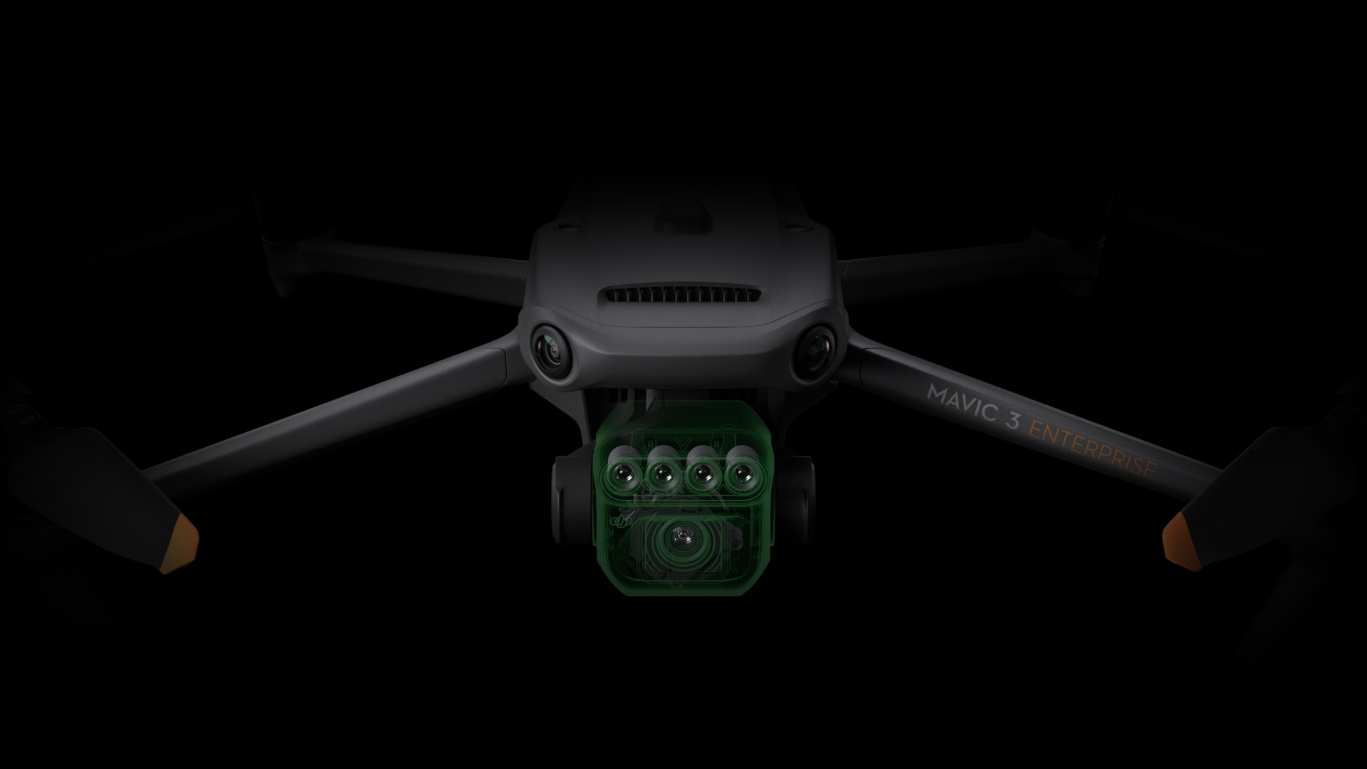
Advanced Multispectral Imaging
Combine four 5 MP multispectral cameras with a 20 MP RGB camera to capture crop conditions and support detailed vegetation analysis.
Combine four 5 MP multispectral cameras with a 20 MP RGB camera to capture crop conditions and support detailed vegetation analysis.
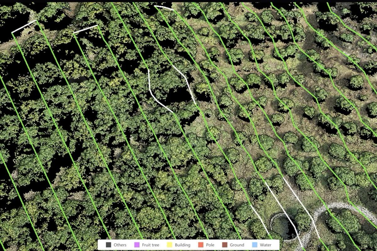
RTK positioning and synchronized imaging support accurate aerial mapping, repeatable surveys, and data-driven crop monitoring.
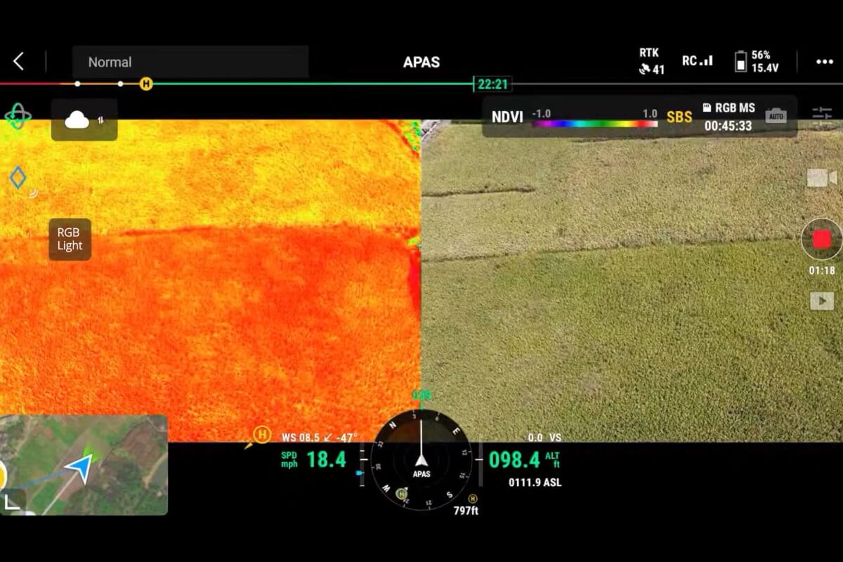
With up to 43 minutes of flight time and coverage of up to 200 hectares per flight under specified conditions, Mavic 3M helps streamline crop scouting, orchard mapping, and vegetation surveys.
LET’S TALK PROCUREMENT
Share your models, quantities and delivery needs. We will help you plan the next step.
Request a Quote
loading