Free worldwide shipping
Free returns
Carbon neutral
Secure payments
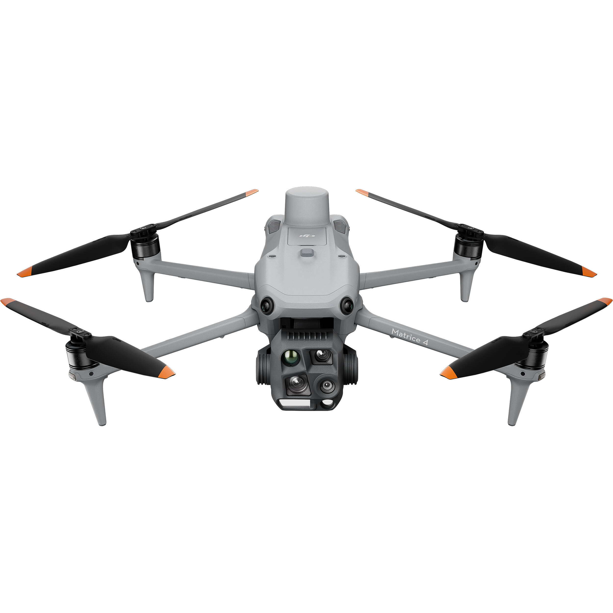
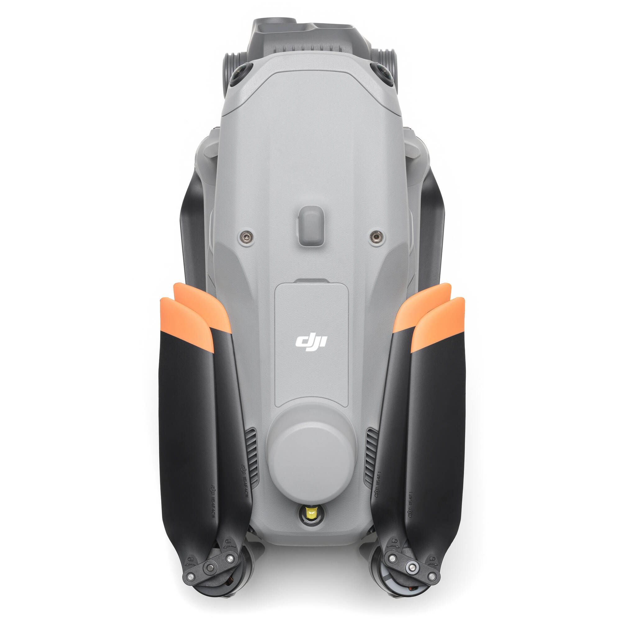
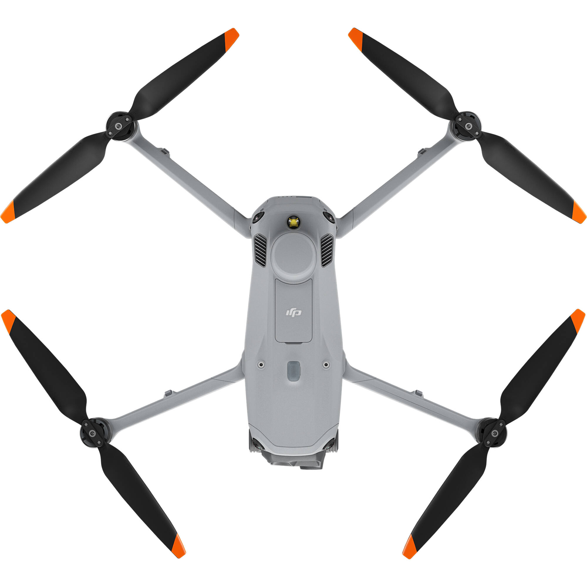
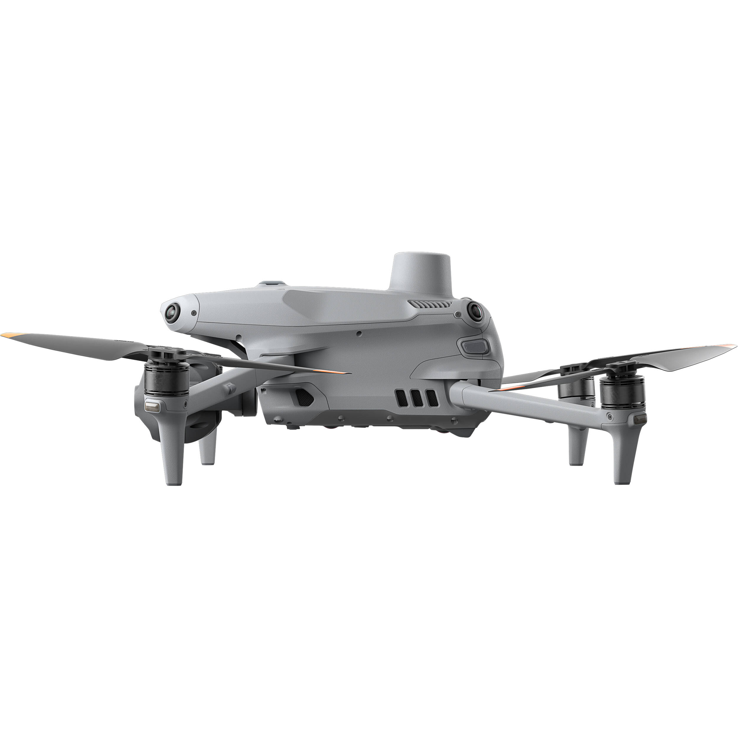
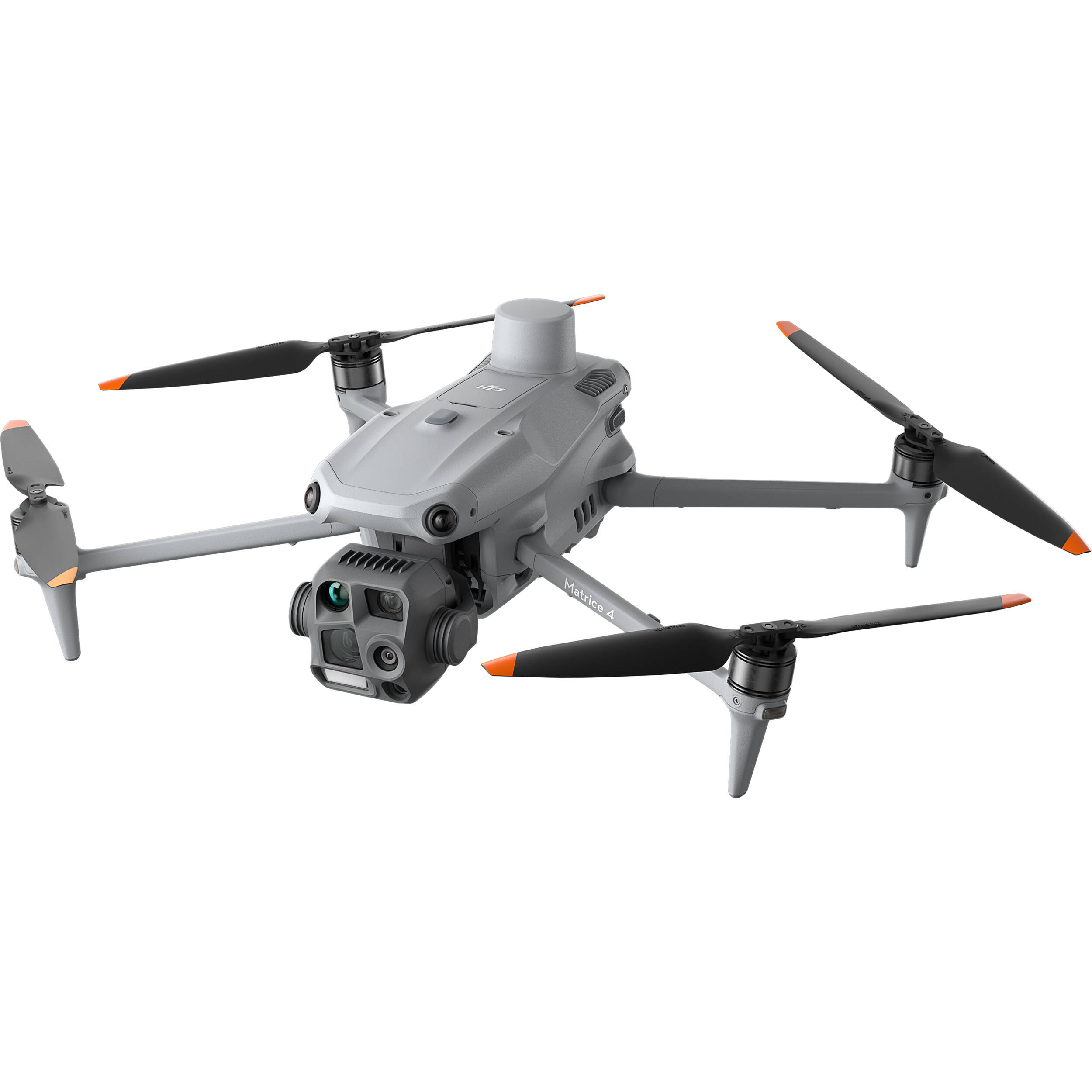
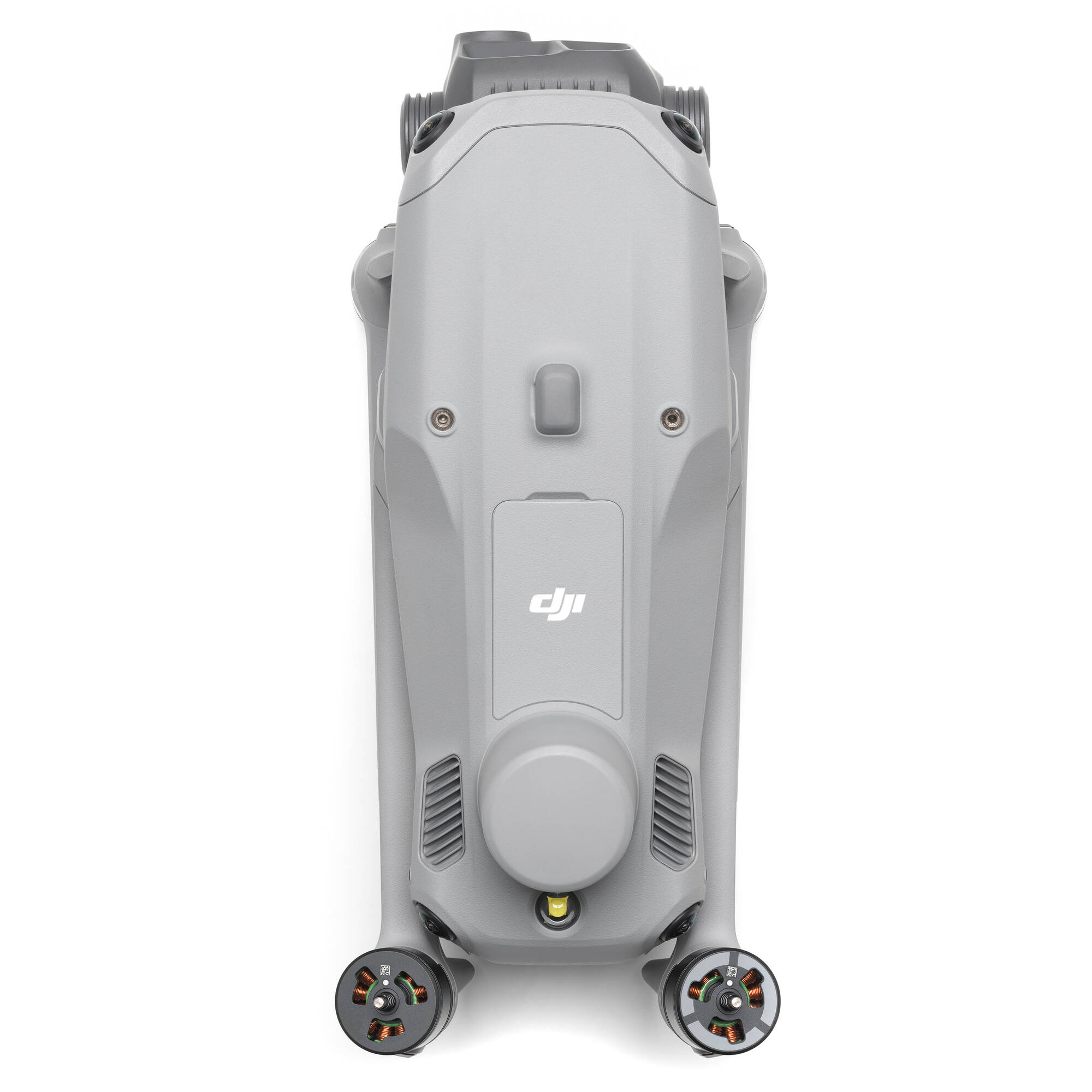
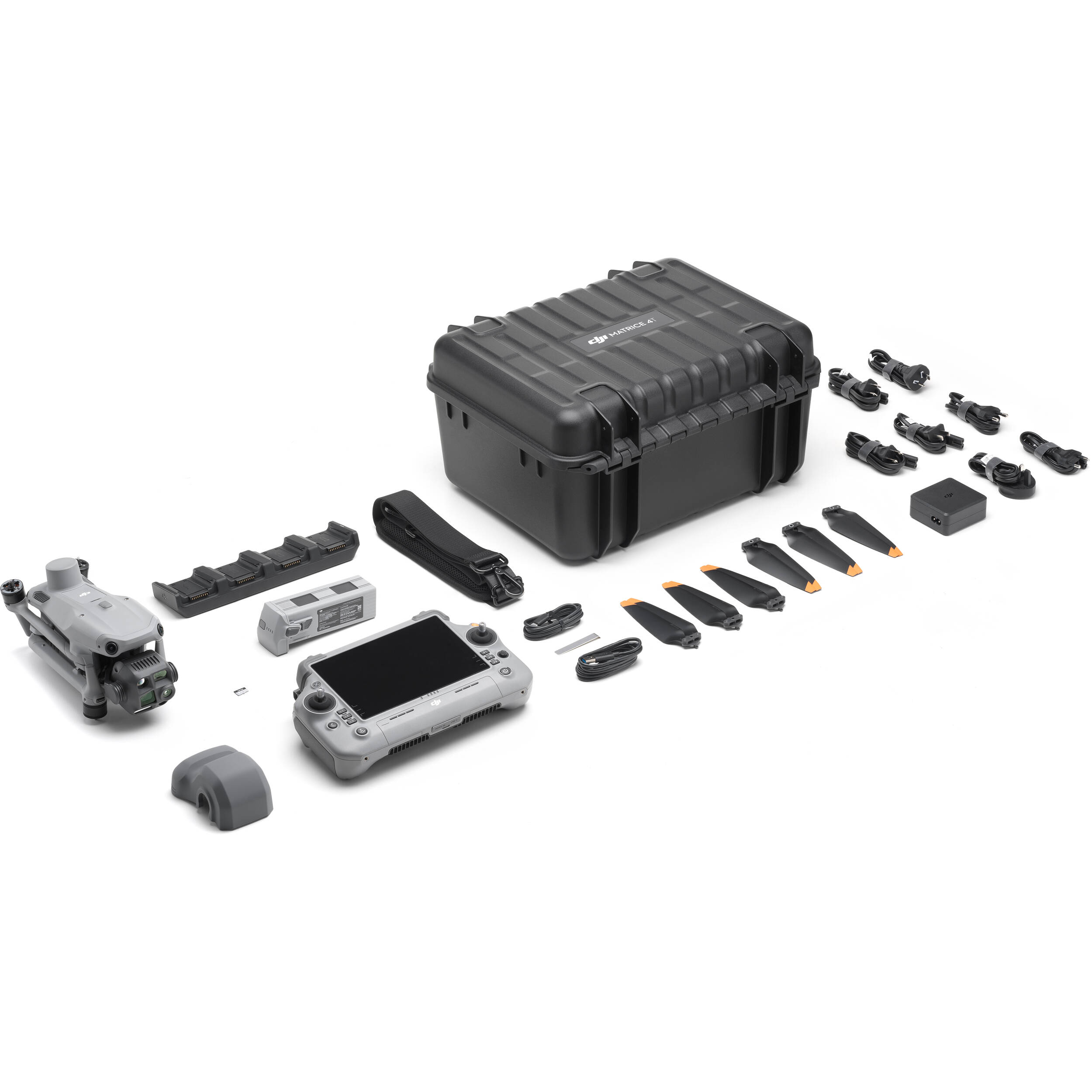
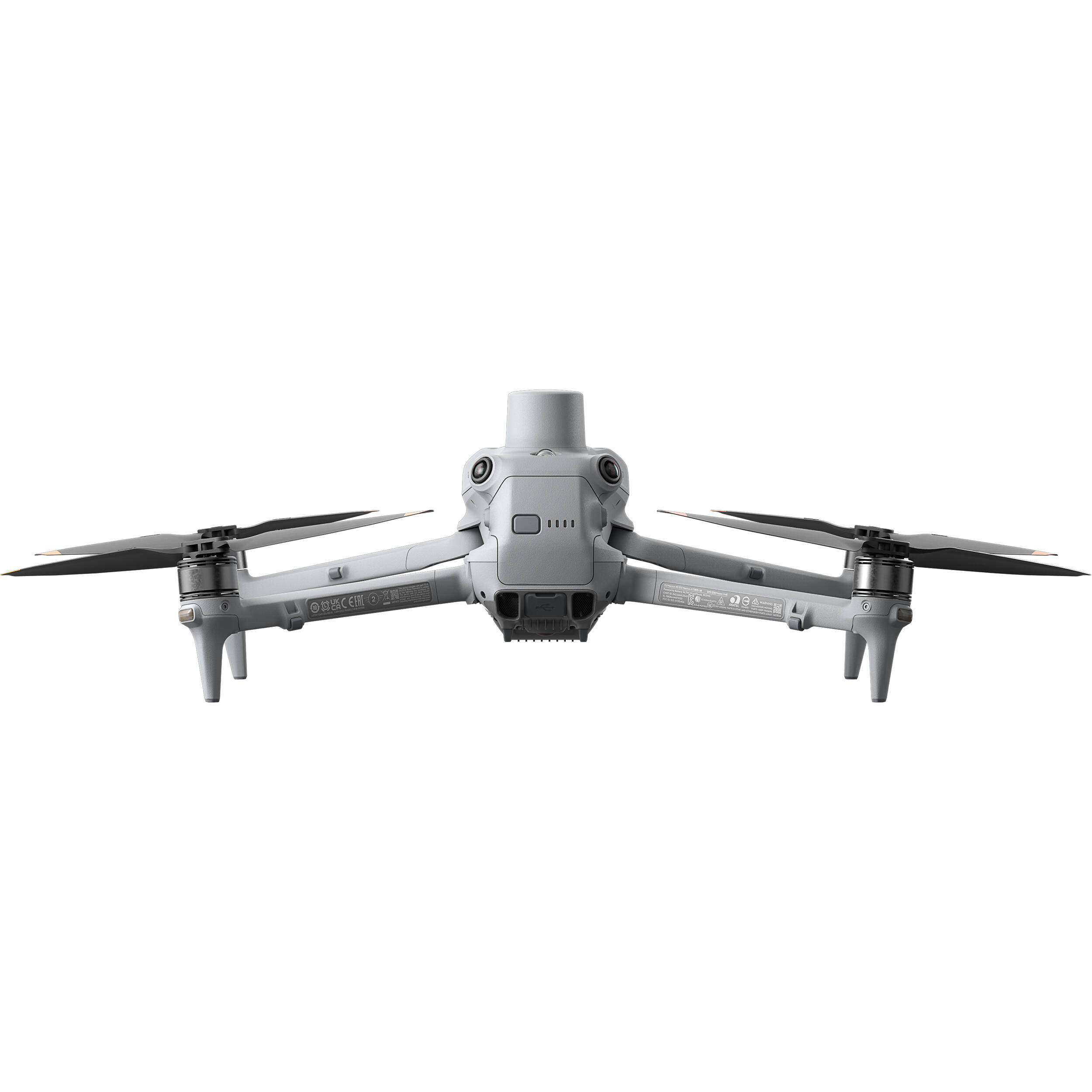
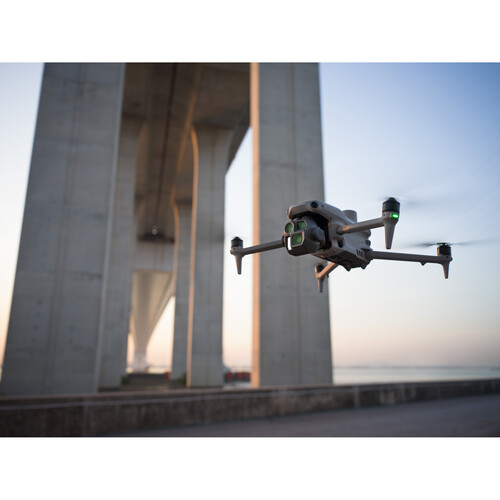
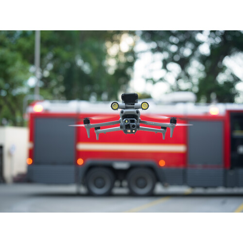
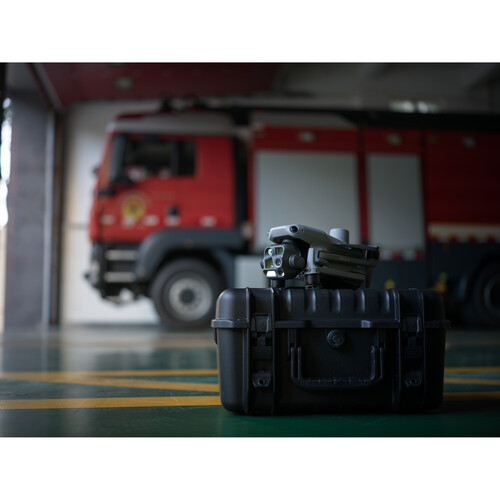
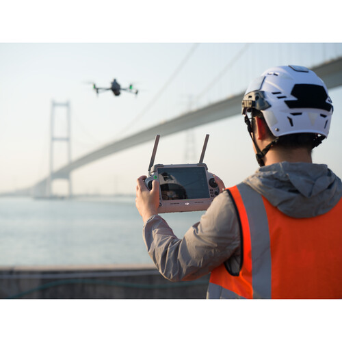
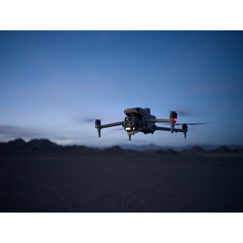
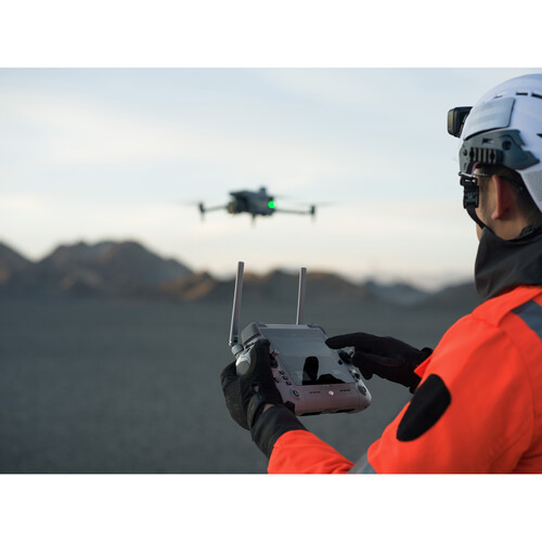
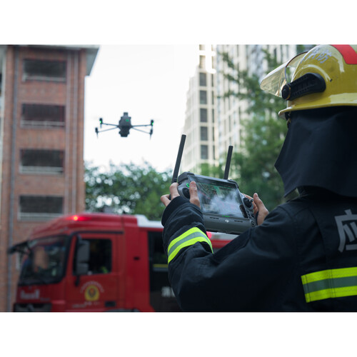
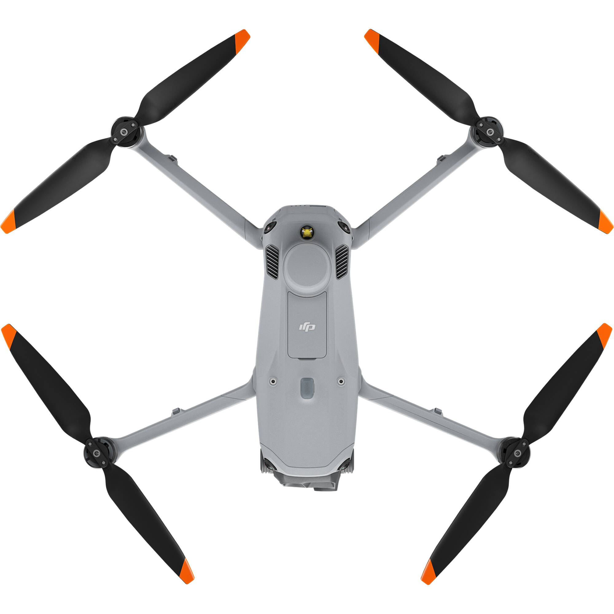
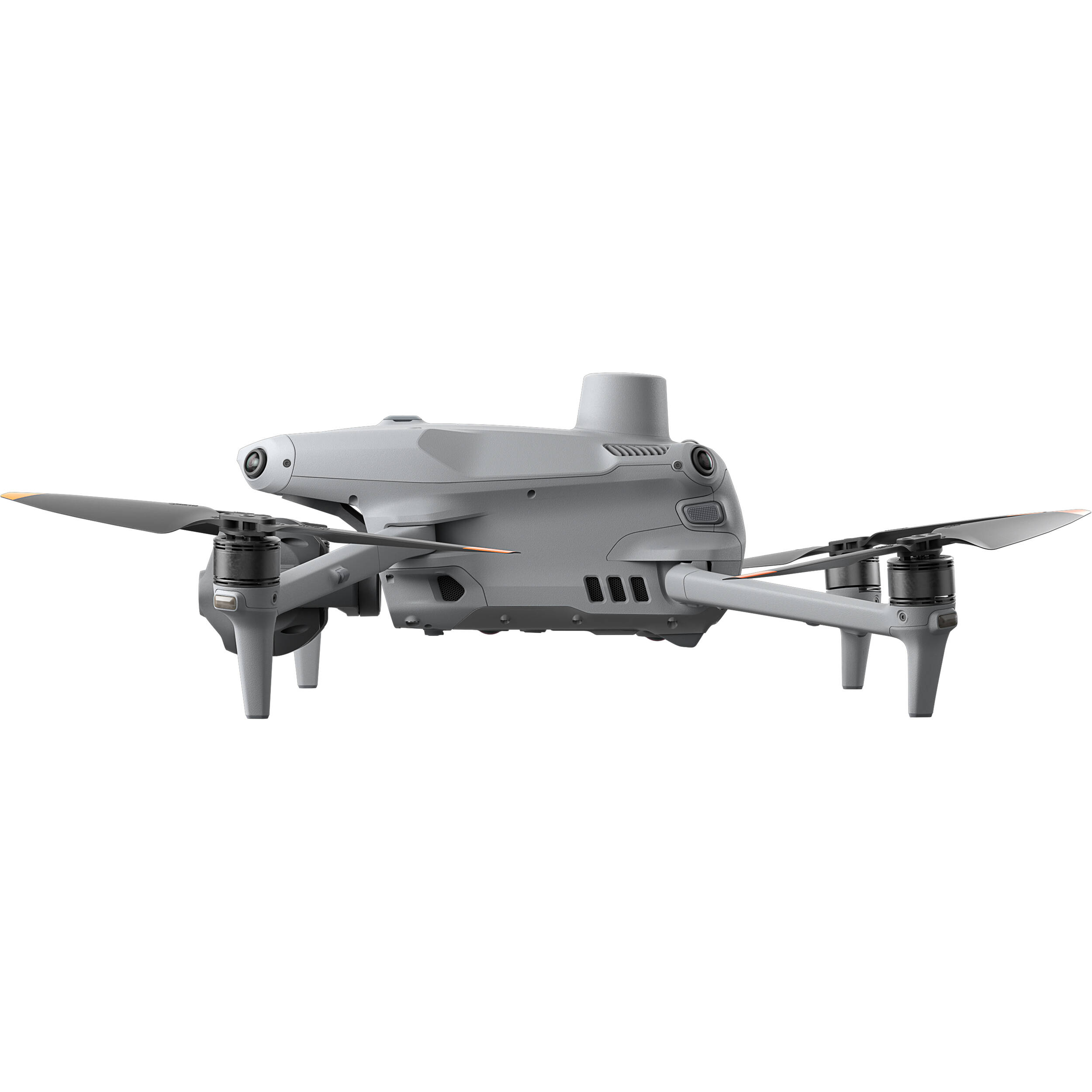
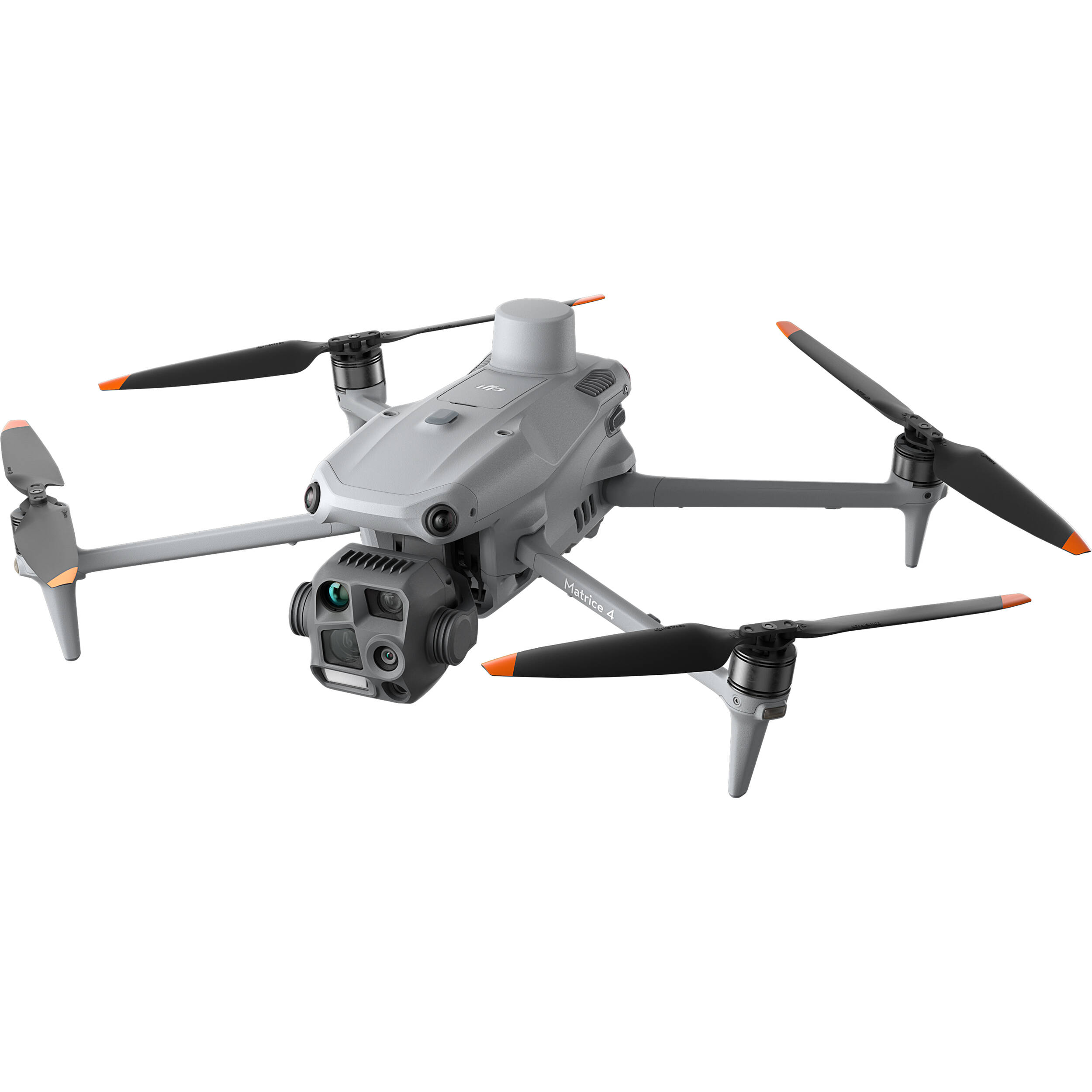
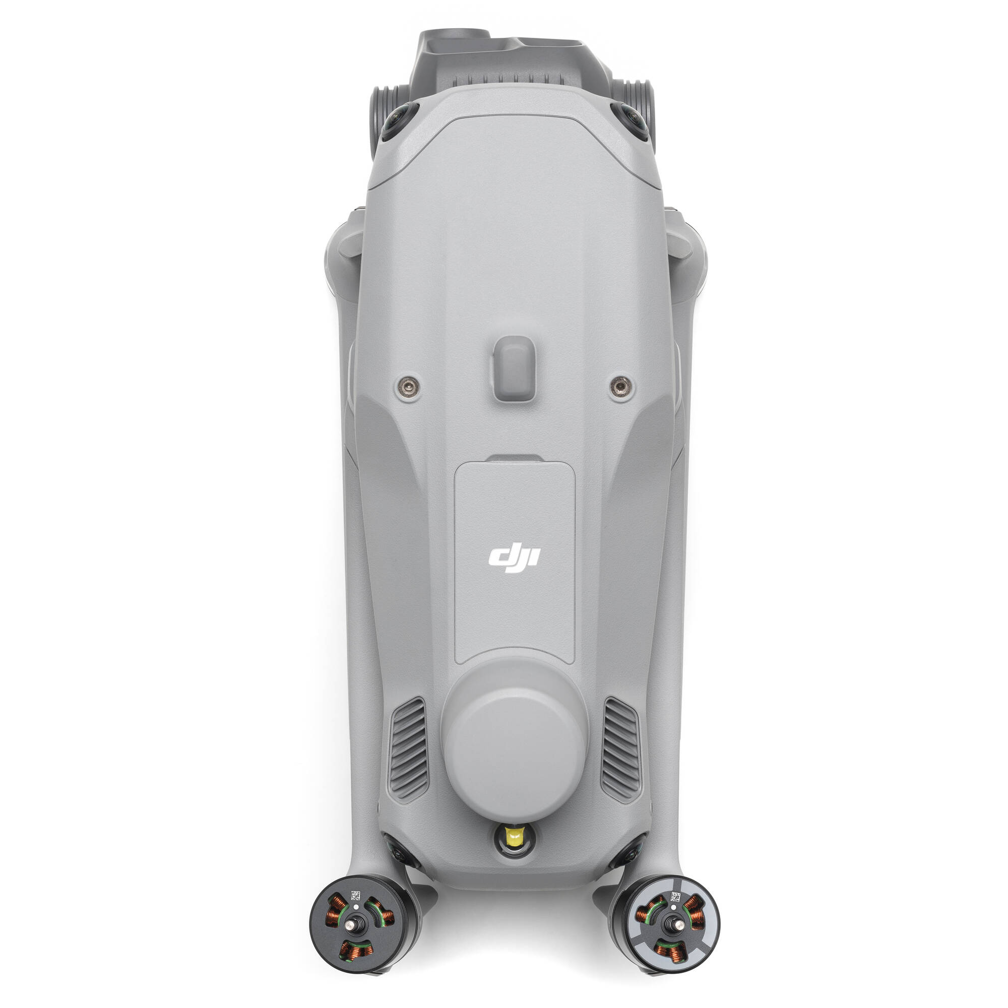
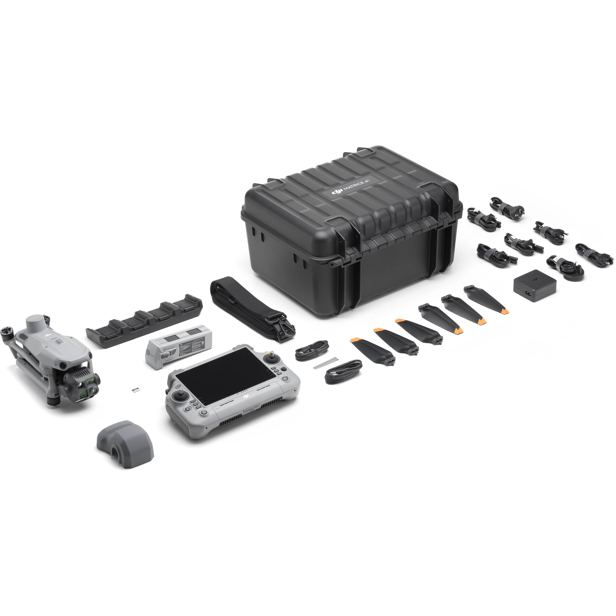
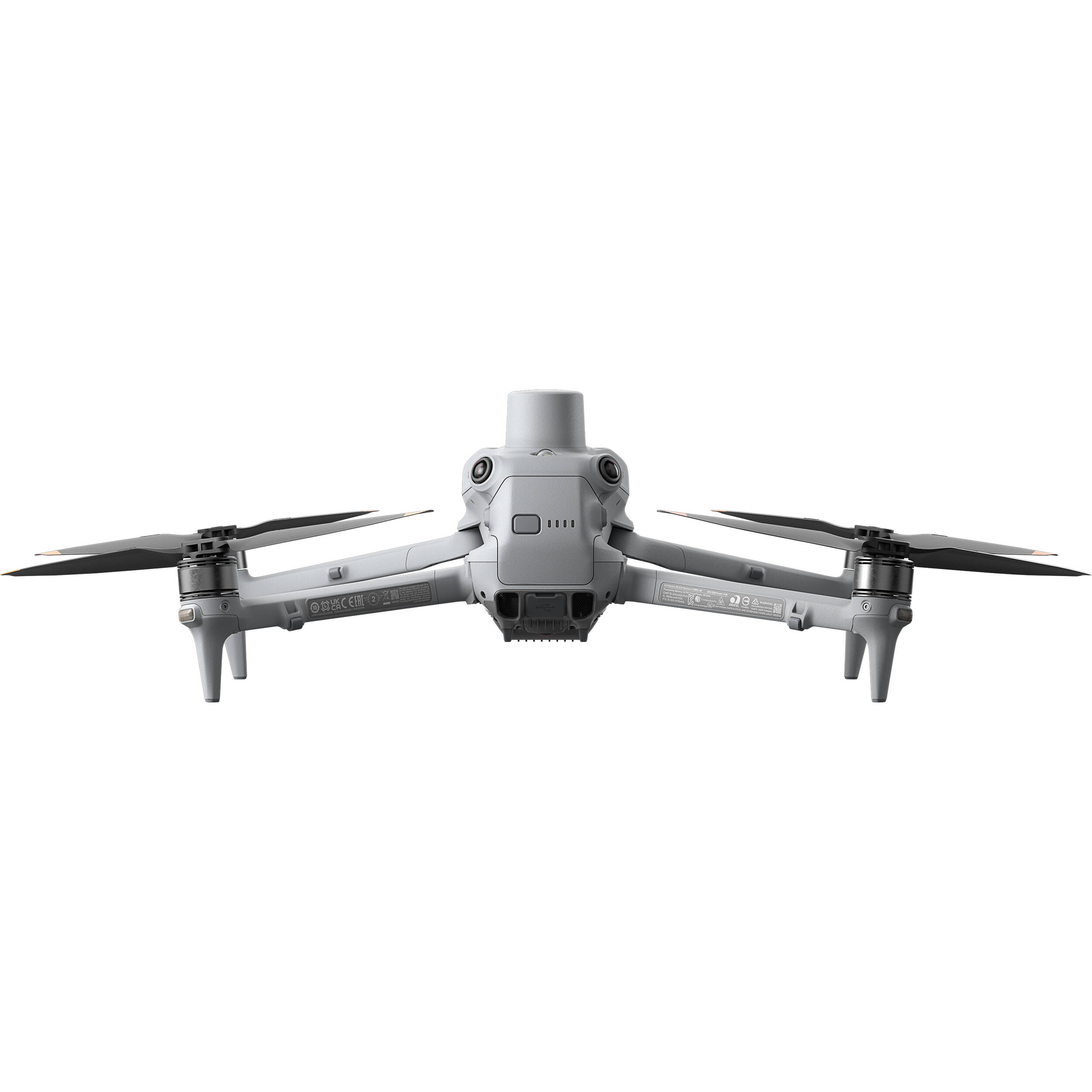
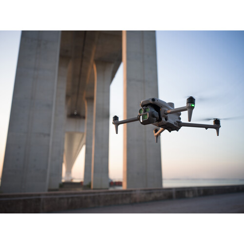
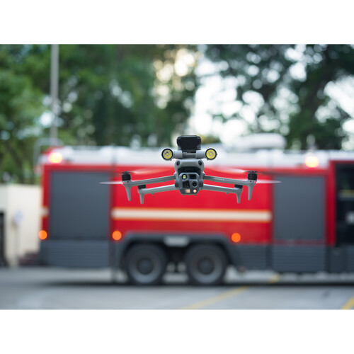
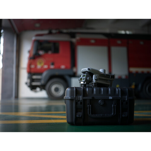
Introducing the DJI Matrice 4 Series, a new compact and intelligent multi‑sensor flagship drone series for enterprise industries. The series includes Matrice 4T and Matrice 4E, each equipped with advanced features such as smart detection and measurement with laser range finder. Flight operations are now safer, more reliable, and powered by AI, with significantly enhanced sensing capabilities. The accessories for the Matrice 4 series have also been significantly upgraded. The Matrice 4T is suitable for a wide range of industries, including electricity, emergency response, public safety, and forestry conservation. The Matrice 4E is designed for geospatial applications such as surveying and mapping, construction, and mining. A new era in intelligent aerial operations begins now.
Key Feature
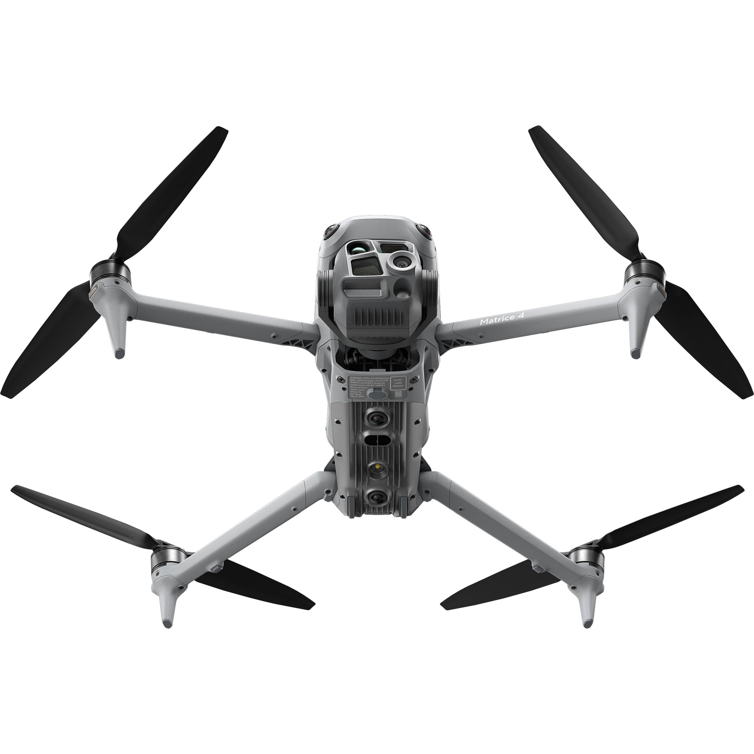
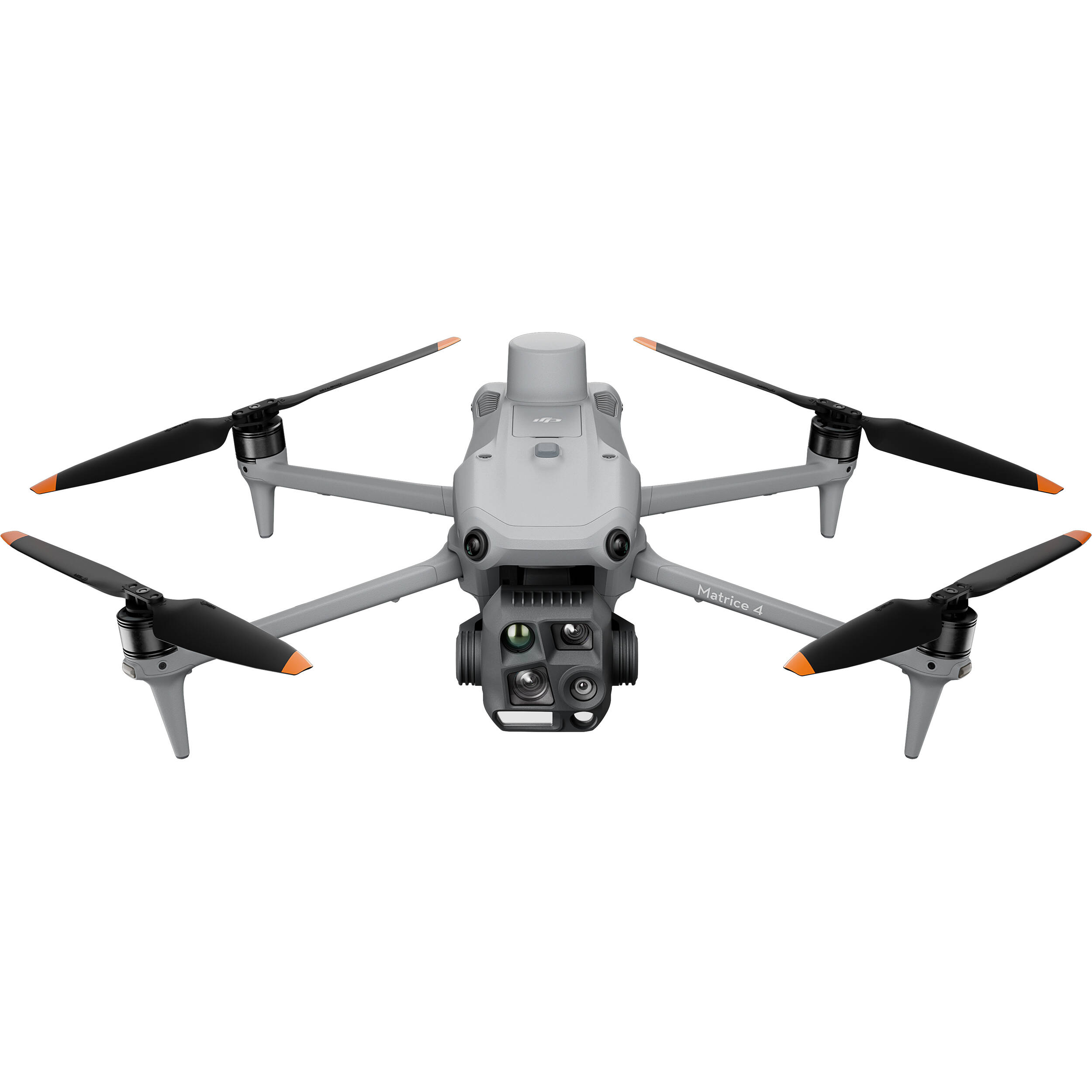
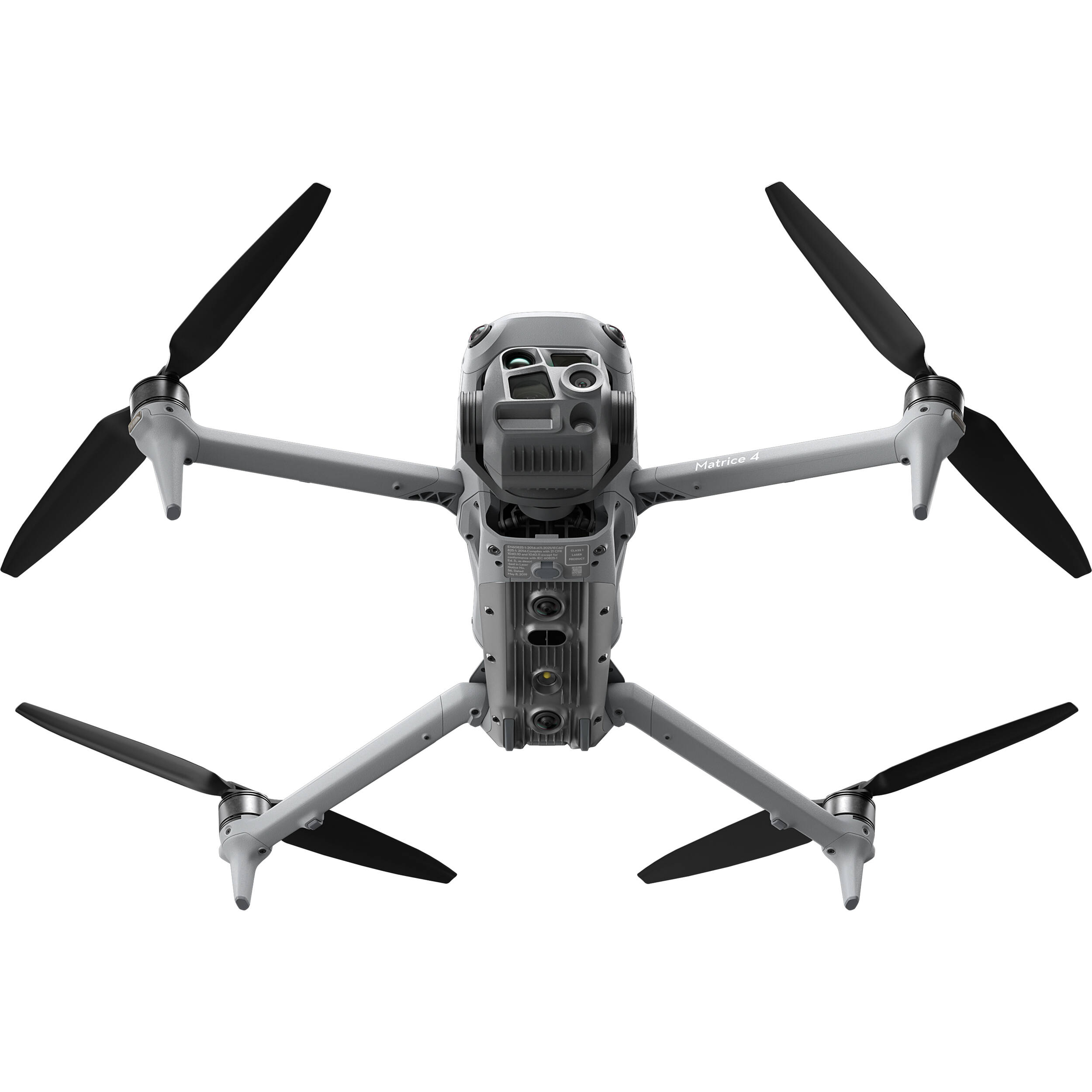
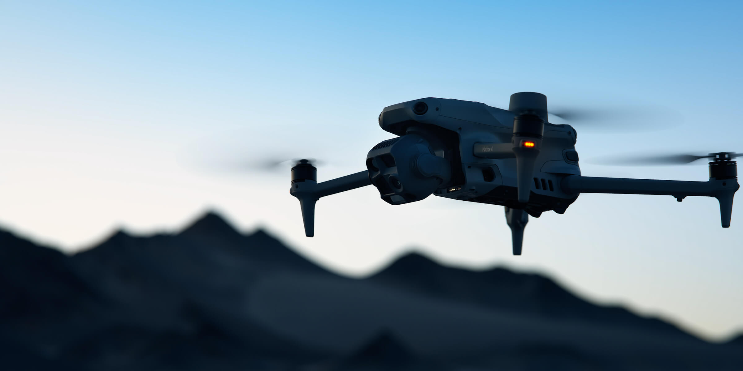
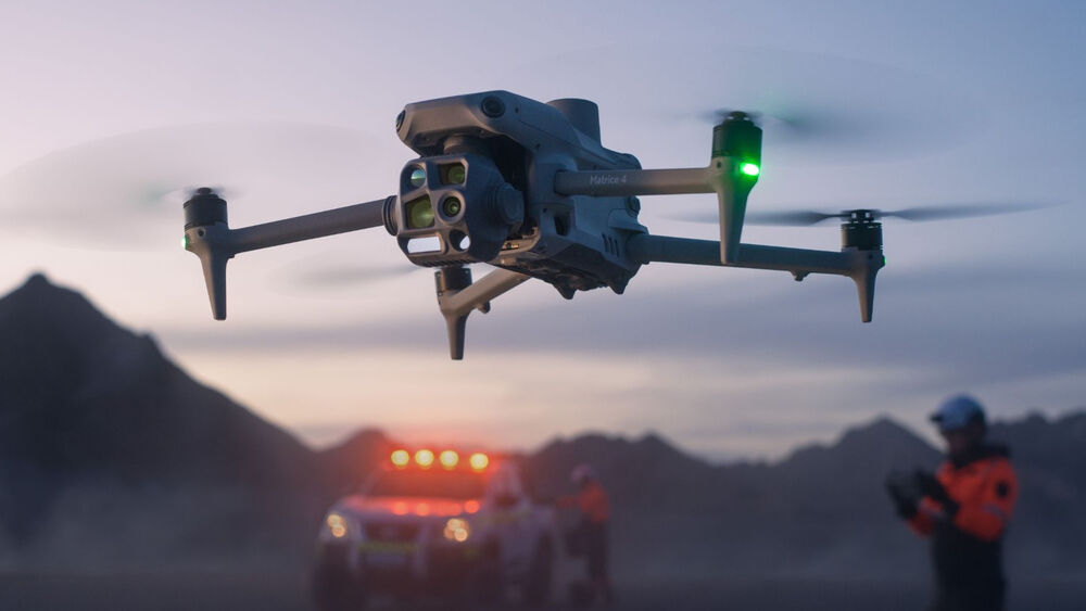
Matrice 4T integrates a powerful multi-camera system designed for complex professional missions.
The payload combines:
Capture detailed visual information from multiple perspectives while using thermal imaging to detect heat differences in challenging environments.
The built-in laser rangefinder provides accurate distance measurement and target positioning from the air.
With a range of up to 1.8 km, operators can quickly:
Reduce manual measurement processes and provide teams with accurate information in real time.
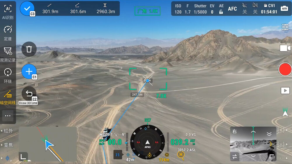
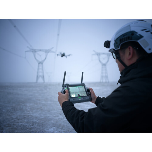
Matrice 4T introduces intelligent flight features designed to simplify complex operations.
Maintain steady forward flight for long-distance missions without continuous stick input.
Automatically adjusts flight path and speed to reach designated locations efficiently.
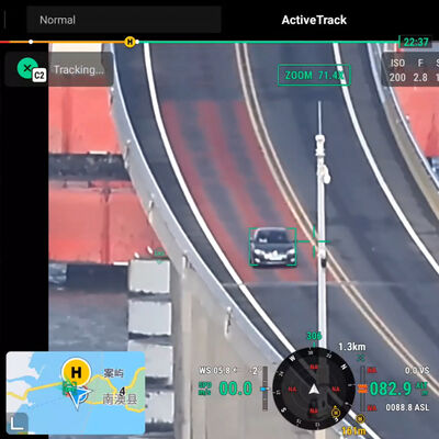
Automatically detects and tracks moving subjects while maintaining visual positioning.
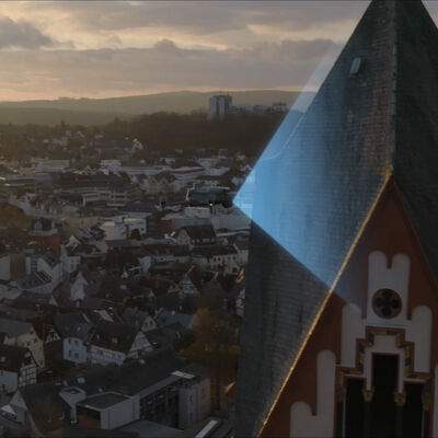
Automatically circles selected targets while capturing detailed visual information and 3D data.
Transform Flights Into Accurate Data.
Matrice 4T provides powerful mapping capabilities for professional surveying and modeling applications.
Supporting:
The wide-angle camera captures images at rapid intervals, allowing teams to efficiently collect aerial data over large areas.
Create preliminary 3D models directly from the remote controller.
Generate optimized flight routes based on:
Factory-calibrated camera performance helps achieve accurate reconstruction results when working with DJI Terra.
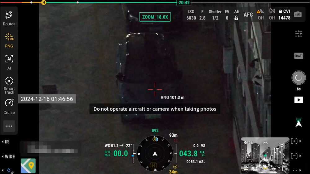
See Clearly Beyond Daylight.
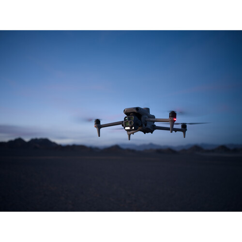
Many professional missions happen after sunset or in low-visibility environments.
Matrice 4T combines:
Thermal imaging helps identify:
Perfect For:
✓ Search & Rescue
✓ Fire Monitoring
✓ Security Patrol
✓ Night Inspection
Stay Connected Across Large Operations.
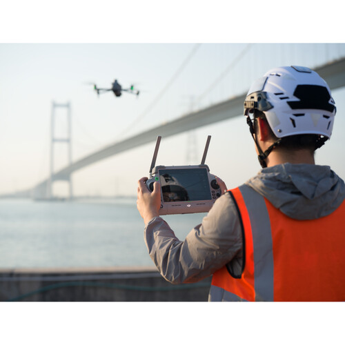
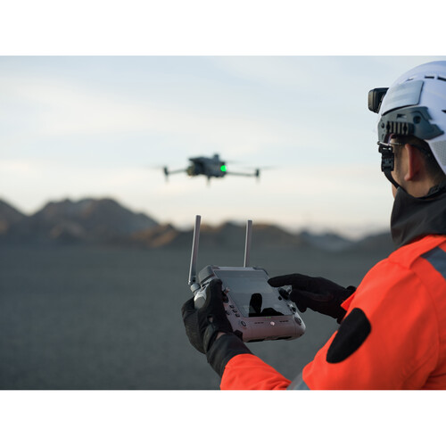
Powered by DJI O4 Enterprise transmission technology, Matrice 4T delivers reliable communication between aircraft and remote controller.
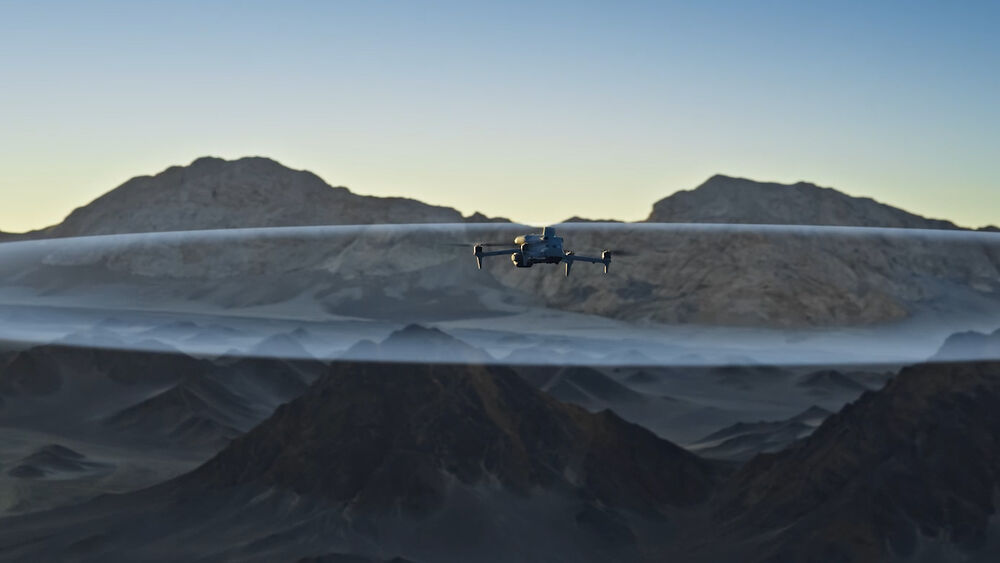
Built For Complex Environments.
Professional missions require reliability.
Matrice 4T includes advanced safety technologies:
Operate confidently in challenging environments including:
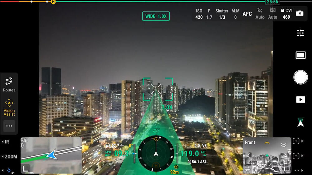
Matrice 4T works seamlessly with DJI Enterprise software solutions.
Supported platforms:
Professional flight control and mission planning.
Cloud-based fleet management and team collaboration.
Professional mapping and 3D reconstruction.
Advanced 3D model editing workflow.
Plan → Capture → Process → Analyze → Share
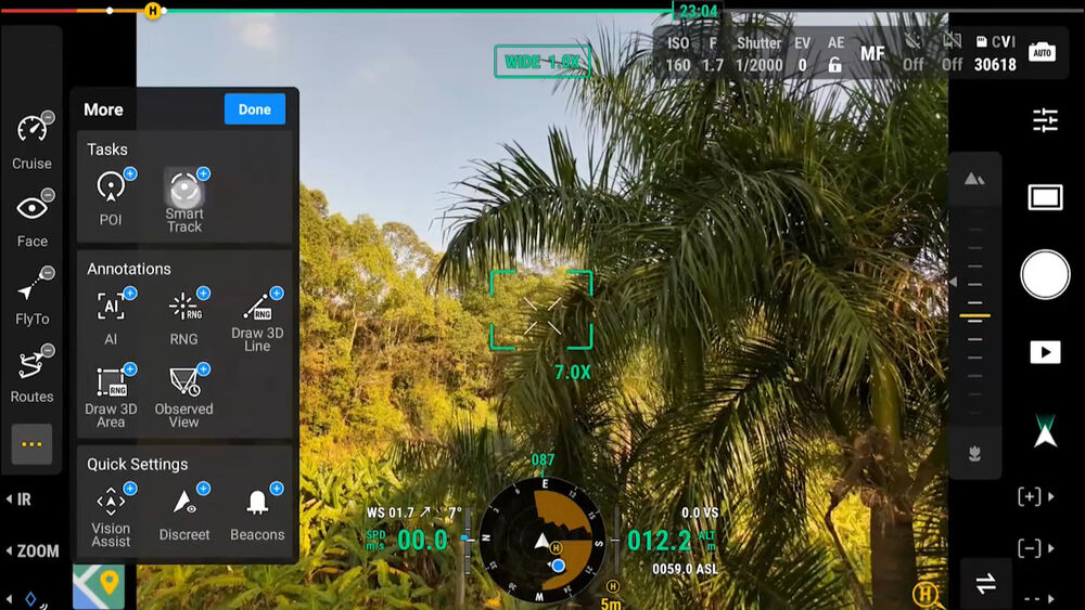
Sensitive operations require secure data management.
Matrice 4T provides:
Designed for organizations requiring reliable information protection.
✓ Multi-Sensor Imaging
✓ Thermal Detection
✓ Precision Measurement
✓ Intelligent Flight Automation
✓ Professional Mapping Tools
✓ Enterprise Software Ecosystem
✓ Secure Data Management

loading